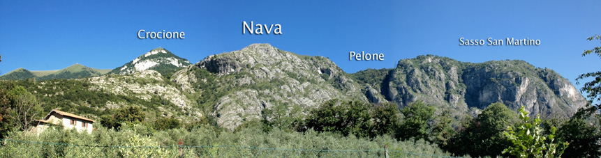

Monti di Nava
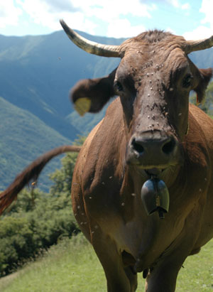
Monti di Nava (850m), also referred to simply as Nava, is an area of alpine pastures in the mountains above Griante and at the foot of Monte Crocione. It was traditionally used for grazing animals such as cows and goats during the summer months, and although you will still find the occasional animal feeding in the meadows, the few stone barns in Nava have been tastefully converted into small summer homes. This cluster of homes and barns is referred to as Bocchetta di Nava.
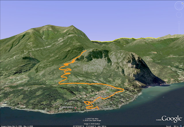
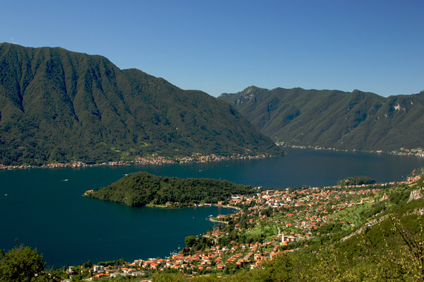
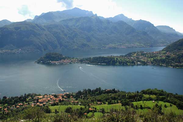
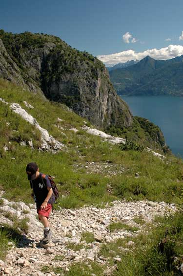
If you enjoy walking in the mountains, then the Monti di Nava are worth visiting for the beautiful views of Lake Como offered up not only when you arrive, but all the way up the path from Griante. To reach Nava from Griante, you need to first reach Rogaro either by foot from a path located directly behind San Rocco church (the small church in the village that is almost never open, not the large church), or by car taking the road at the north end of the village (this road is locally referred to as the �Variante�).
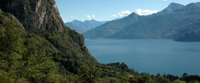
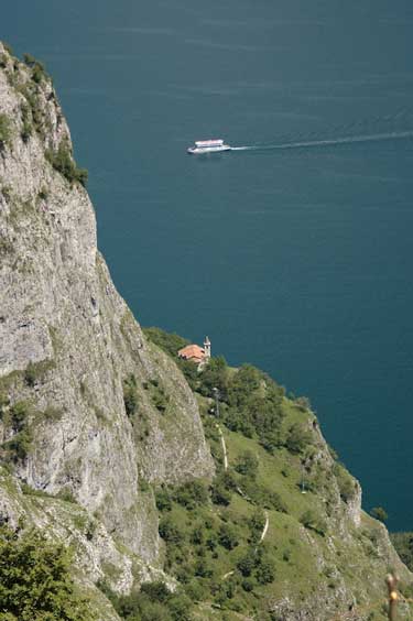
Looking north up Lake Como from Nava. San Martino (very small) can be seen perched on the mountain plateau outcrop.
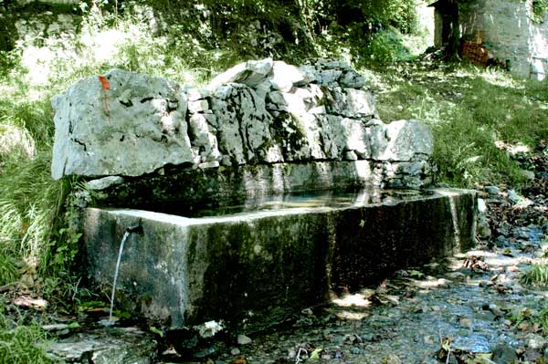
In Rogaro, which is itself a large beautiful agricultural mountain plateau, you will find a small parking area with a fountain, and directly beside it a path, more like a small road at that point, that leads up to Nava. Fill your water bottles here, especially if it is a hot day. From the parking lot the road becomes a smaller path that runs briefly through the forest and then opens up to a series of switchbacks that eventually bring you to Nava.
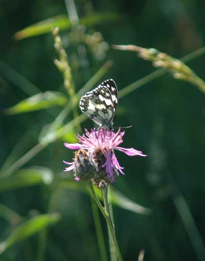
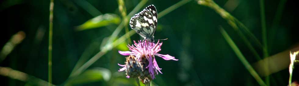
A beautiful alpine pasture where some animals still graze while taking in the spectacular views of Lake Como.
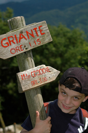
From Nava, it is also possible to veer left and hike to the summit of Monte Crocione which is directly above, or walk further on and down the other side of the mountain to the town of Croce which is directly above Menaggio and home to the Menaggio golf course. Both these routes form part of the �Via dei Monti Lariani�, a 125 km trail that runs through the mountain pastures on the west side of Lake Como, anciently known as Lario. Hiking to Monte Crocione (1,400? m) is long and arduous and will entail another few hours of walking. Walking down to Croce is easy but will require you to obviously hike back up, or proceed all the way down to Menaggio and back around to Griante via the main road along the lake either by foot or public transit. Although doable, it is long, and from Croce to Menaggio somewhat uninteresting.
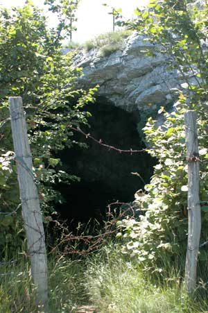
If you have the time and the inclination, you can also hike for few more minutes up the left (or north) side of Nava to get better views and also maybe find the Boch della Rodella , a cave or crevasse in the mountain that drops back down to about the level of the lake.
There is a mountain spring in Nava, but I was there recently and it looked like it was heavily visited by some local cows, so I opted not to drink from it. To be safe, bring your own bottled water.